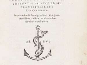
Description
In 4° (234 x 163 mm), 3 parts in one volume. Contemporary vellum, renewed endpapers. [8], 358, [2] pages; [28] leaves; 47, [49] pages, 64 double-page geographical maps of which 27 devoted to the ancient world and 37 illustrating the modern world with description on verso, 12 woodcuts and diagrams in the text, printer’s devices.
Comments:
First edition of Ruscelli’s translation of Ptolemy’s work and the second in Italian after the 1548 in-8vo, innovative in the cartographic history because it is the first atlas that depicts the modern world in two hemispheres. Important are the maps of the Tierra Nueva with the tierra del Bacalaos and the tierra del Laborador, the map of Brazil, the island of Cuba and Santo Domingo and the map of Nueva Hispana that correctly represents the peninsula of Yucatan and shows the names of the places explored by Pineda, Cabeza de Vaca and Moscosso. Nodenskiöld 30: “The maps are enlarged copies of Gastaldi’s maps in the edition of 1548, excepting: Universal Novo’ […] and the map of Central America (Nueva Hispania), where Yucatan is drawn as a peninsula, and not separated from the main by a strait as in the map of 1548. Four maps are added, vis.: Toscana, nova tabula; Zeno’s map or ‘Septentrionalium partium tabula nova’; Brasil, nova tavola, and the old map of the world by Ptolemy, excluded from the edition of 1548, is here re-inserted”.